Areas of application for multicopters in aerial archaeology
Due to the rapid progress in the development of hover platforms and multicopters, they have now reached an affordable price segment. A multitude of suppliers on the European, American and especially Asian markets are vying for customers who use this technology for very different purposes. The range goes from the hobby sector to professional aerial photography to special systems in disaster control, agriculture, surveying and system monitoring.
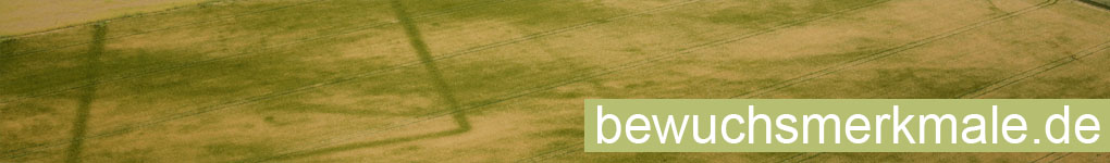
An exciting field of application for multicopters is aerial archaeology. Up to now, this has been based primarily on photographs taken from small aircraft or motorised kites. Another possibility is to take pictures from a guided kite (KAP - Kite Aerial Photography). Ground-level photographs (e.g. for excavation documentation) are taken either from high tripods or from fire brigade ladders, excavator shovels and cranes.
A multicopter now expands the recording possibilities in areas where previous methods are limited. It operates at altitudes from a few metres up to the permitted maximum altitude of 100 m. This makes it possible to take pictures from an altitude where aeroplanes and motorised kites are not allowed to fly. In this range, it competes with the lifting kite, but only if there is sufficient wind for kite flying and the spatial conditions allow kite flying with long lines. When flying, for example, to document excavation areas that lie within closed settlements, the multicopter has a clear advantage.
For shots close to the ground (2 - 20m), shots from a multicopter deliver a similar quality to shots from tripods, ladders and cranes. However, the use of a multicopter is more flexible, as a photo flight is possible at any time and no elaborate preparations (e.g. setting up a high tripod) or preparatory planning/organisational measures are necessary. Vertical photographs even above larger features do not require any auxiliary constructions.
Comparing the capabilities of a multicopter and an airplane in terms of aerial archaeology, advantages and disadvantages emerge for both systems. The airplane is clearly the better tool when it comes to prospecting new sites. With the airplane, long flight times are possible, during which larger areas can be checked. The situation is different when checking known or suspected sites. A regular flight in shorter intervals (e.g. in the ripening period of the grain) is too costly and time-consuming with the airplane. In contrast, an ascent with the multicopter is possible quickly at any time, so that, for example, the optimal time of visibility of vegetation features can be waited for or courses of vegetation features can be recorded. The short flight duration and the limited flight radius (a few hundred meters) of the multicopter are of no consequence here.
Even for larger overview shots (such as of an uncovered route), the aircraft has the edge due to the possible flight altitudes. As a rule, however, photographs taken by the multicopter with a wide-angle lens and a flight altitude of up to 100 m are completely sufficient for most requirements.
In the following, the advantages and disadvantages of a multicopter are once again briefly summarized:
- + wide application range
- + quick readiness for use
- + small preparation
- + mobile
- + immediate review of recordings
- - technically complex
- - experienced pilot necessary
- - short flight times and flight radii
- - very limited possibilities of prospective aerial archaeology
Due to the points mentioned above, a multicopter is recommended for the following tasks:
- Recording and long-term documentation of known ground monuments
- Review of archaeological questions concerning known ground monuments
- Regular testing of suspected areas
- Documentation of excavation status and results
- Documentation of unauthorized ground interventions
- Event photography